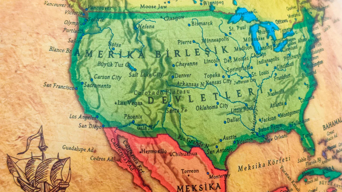
Mapping America: Maps and Engravings that Created the United States


The history of Mapping in America reveals a fascinating journey through time. Maps played a crucial role in shaping the United States by defining physical and political borders. Early cartographers captured the essence of the continent's landscape, influencing the nation's development. The artistic and historical significance of these Maps cannot be overstated. They provided insights into the geographical understanding of America during its formative years. The exploration of the North American interior by cartographers highlighted the complexities of nation-building. Mapping America offers a unique perspective on how Maps contributed to the conceptualization of the United States.
The Early Days of American Cartography
Colonial Beginnings
Influence of European Cartographers
European cartographers played a pivotal role in early American history. Martin Waldseemüller's 1507 map marked the first use of the word 'America' to describe the New World. This map set a precedent for future explorations and mappings. Gerhard Mercator's world map of 1569 united geographical and marine map-making practices. This unity provided explorers with more accurate navigation tools. The Renaissance period brought significant changes to mapping. Major publishing houses grew, and public learning expanded. These developments allowed maps to reach a wider audience.
Early Maps of the New World
Early maps of the New World captured the imagination of many. Diego Gutiérrez and Hieronymus Cock collaborated on a 1562 map of America. This map was the largest engraved map of America at that time. Such maps offered a glimpse into the vast and unknown territories. They served as guides for explorers and settlers alike. The detailed engravings highlighted the potential of the land. These maps became essential tools in the colonization process.
The Role of Exploration
Contributions of Explorers
Explorers made significant contributions to early American history through their discoveries. Their journeys provided valuable information for cartographers. These brave individuals ventured into uncharted territories. Their findings helped shape the maps of the New World. The information they gathered influenced the perception of America. Their work laid the foundation for future exploration and settlement.
Mapping Unknown Territories
Mapping unknown territories presented many challenges. Early cartographers relied on explorers' accounts to create accurate maps. These maps depicted the diverse landscapes of America. The process required skill and precision. Cartographers used the latest techniques to represent the land accurately. Their work contributed to the understanding of America's geography. These maps played a crucial role in the nation's development.
Key Figures and Developments
Prominent Cartographers
John Smith and His Maps
John Smith created a 1612 map of Virginia. This map integrated knowledge from his explorations and information from the Indigenous population. The map surpassed the geographic detail of existing maps. John Smith's work provided a definitive view of Virginia until 1673. Europe's best engravers copied this map. The map remained the basic source for nearly every printed map of the Chesapeake Bay until 1673.
Influence of Benjamin Franklin
Benjamin Franklin influenced American cartography through his innovative ideas. He contributed to the development of postal routes. Franklin's work improved communication across the colonies. His efforts helped establish a more connected nation. Franklin's influence extended beyond cartography into various aspects of American life.
Technological Advancements
Introduction of Engraving Techniques
Engraving techniques revolutionized map-making in America. These techniques allowed for greater detail and accuracy. Engravers used metal plates to create precise images. This method enabled mass production of maps. Engraving techniques played a crucial role in disseminating geographic knowledge.
Impact of Printing Press
The printing press transformed the distribution of maps. This technology made maps more accessible to the public. Printing presses increased the speed of map production. The availability of maps expanded as a result. The printing press played a vital role in shaping public understanding of geography.
Thematic Insights into Map-Making
Maps as Political Tools
Boundary Disputes and Resolutions
Maps have played a crucial role in resolving boundary disputes. The 1562 map of America helped define Spain's sphere of influence in South America. John Mitchell’s map supported British claims to land west of the Appalachian Mountains. These maps provided visual evidence in negotiations. Cartographers created tools that shaped political landscapes.
Maps in War and Peace
Maps guided strategies during conflicts. Armies used detailed maps for planning battles. Maps from the Early Republic period revealed nation-building complexities. Peace treaties often relied on maps to establish new borders. Cartography influenced both war and peace efforts.
Artistic Value of Maps
Aesthetic Elements in Cartography
Cartographers infused maps with artistic elements. Engravings added beauty and detail. Mercator and Ortelius distinguished North and South America with artistic flair. Colors and symbols enhanced visual appeal. Maps became not just tools but works of art.
Maps as Works of Art
Maps transcended their practical use. Collectors valued maps for their artistic merit. Museums and private collections showcased these creations. The blend of science and art captivated audiences. Maps offered a unique perspective on the world.
The Legacy of Early American Maps
Influence on Modern Cartography
Evolution of Mapping Techniques
Early American maps laid the groundwork for modern cartography. Cartographers used these maps to revolutionize spatial data understanding. The evolution of mapping techniques transformed geographic knowledge. New technologies automated map derivation from geodata acquisition methods. This innovation enabled individuals to create and use maps with modest computing skills.
Continued Relevance in Education
American maps continue to hold educational value. Schools use these maps to teach geography and history. Students learn about exploration and nation-building through these visual tools. Maps illustrate the development of the United States over centuries. Educators highlight the artistic and scientific aspects of cartography.
Preservation and Collection
Museums and Archives
Museums play a vital role in preserving early American maps. Curators showcase these historical artifacts to educate the public. Archives store maps that reveal the nation's past. Researchers access these collections to study cartographic history. Museums provide a space for appreciation and learning.
Private Collections and Exhibitions
Private collectors contribute to the preservation of American maps. Exhibitions display these maps as works of art. Collectors value the historical and aesthetic significance of maps. Public exhibitions offer a glimpse into the world of cartography. These events celebrate the legacy of map-making in America.
Mapping America: The Book and Its Significance
Overview of the Book
Authors and Their Contributions
"Mapping America" offers a vivid exploration of the UNITED STATES through hand-colored maps and engravings. Jean-Pierre Isbouts and Neal Asbury, the authors, provide insights into the development of America. Isbouts, known for his work on GENERAL HISTORY, brings expertise in historical narratives. Neal Asbury, a rare maps collector, adds depth with his passion for cartography. The book captures the imagination with its detailed illustrations and engaging storytelling.
Reception and Reviews
The book has received positive Reviews from various sources. Kirkus Reviews praised its rich visual content and historical depth. The Kirkus Reviews Issue highlighted the book's ability to transport readers to the past. Review Posted Online noted the unique perspective offered by the authors. Readers appreciate the blend of art and history in Mapping America. The book holds a place among notable works in the genre.
Kirkus and Bowery Boys Perspectives
Insights from Kirkus Reviews
Kirkus Reviews emphasized the book's artistic value. The Kirkus Reviews Issue described the maps as both informative and beautiful. Kirkus highlighted the authors' skill in weaving narratives with visual elements. The book's ability to engage readers earned it a spot in the HOLIDAY HISTORY GIFT GUIDE. Kirkus Reviews Issue also mentioned the educational aspects of the book.
Bowery Boys' Take on Mapping America
The Bowery Boys Podcast featured a discussion on Mapping America. The Bowery Boys admired the book's exploration of America's formation. The Bowery Boys Bookshelf included it in their recommended BOOK LIST. The Bowery Boys appreciated the detailed engravings and historical context. The book's contribution to understanding American history resonated with listeners.
The Book's Place on the Bookshelf
Comparison with Other Works
Mapping America stands out among other historical Books. The book's focus on maps sets it apart from traditional narratives. Comparisons with works like David Grann's "The Lost City" highlight its unique approach. The book's visual appeal rivals that of Elie Wiesel's illustrated works. Mapping America offers a fresh perspective on the UNITED STATES.
Influence on Readers and Collectors
Readers find Mapping America both educational and inspiring. Collectors value the book for its artistic and historical significance. The book's influence extends to educators and history enthusiasts. Mapping America enriches the understanding of America's past. The book remains a cherished addition to any Bookshelf.
Reflecting on the historical journey of American maps reveals their profound impact on shaping the nation. Maps served as essential tools for exploration, offering insights into unknown territories. The artistic and cultural value of these maps endures, showcasing a blend of science and art that captivates audiences. As cartography advances into the digital age, new technologies promise to revolutionize spatial understanding. The future of mapping holds exciting possibilities, continuing humanity's innovative journey from ancient cave paintings to sophisticated GIS technology.
See Also
Visual Encyclopedia of American History
Visual History of the American Revolution
Exploring and Explaining the World's Great Maps